SCGIS Webinar: Using community science to predict extinctions and monitor threatened species
Society for Conservation GIS.
SCGIS Webinar: Using community science to predict extinctions and monitor threatened species
Quotation from the Conservation Biology Institute.
Register here: https://zoom.us/webinar/register/WN_odhkXeV-QDuJylUP5MV5UQ Date/time: Thursday, March 4 at 10am PT 12:00 p.m.Central Time (CT) Presenter: Peter Soroye Description: Community science (CS) programs (also called citizen science), like iNaturalist, eBird, or eButterfly, allow volunteers to report species observations from anywhere and anytime, and can assemble huge volumes of data much faster than traditional data collection programs. This is a great potential opportunity for conservation management and global change research. By comparing one of these CS datasets to a more traditional dataset of professionally collected observations, we find that CS generates substantial new information on species distributions and phenologies. In complement with professional data, CS can provide a better understanding of species and communities. Given the power of CS programs to generate data on wildlife, CS presents an interesting alternative or complement to traditional threatened species monitoring. Using iNaturalist as an example, we examine the benefits and limitations of using CS data for this purpose.
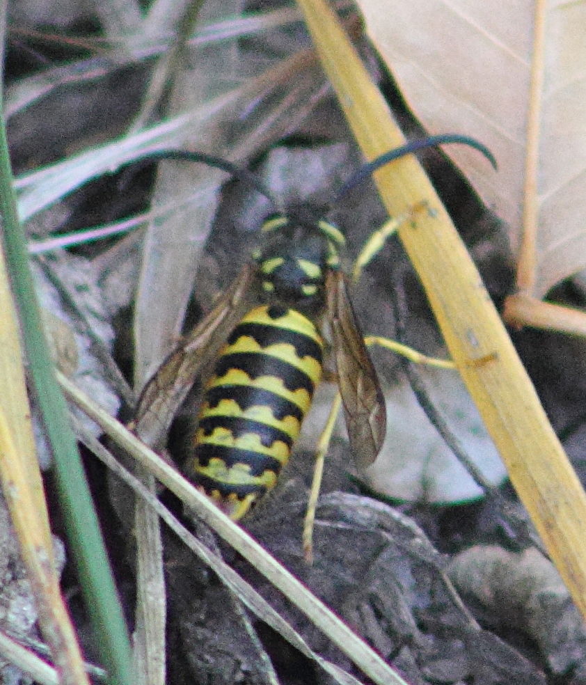
Image of Western Yellowjacket Vespula pensylvanica an endangered species in the Saskatoon Afforestation Areas.